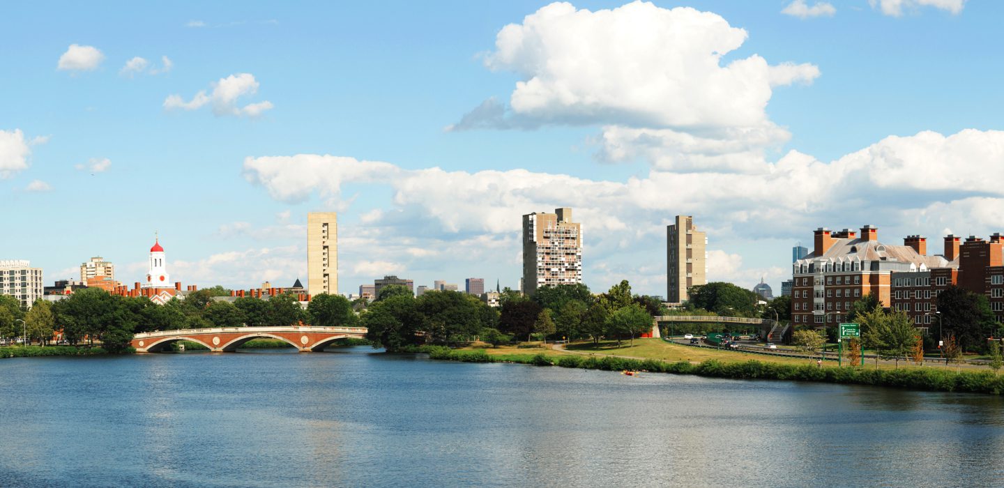
Charles River Basin Infrastructure Planning Study
Boston, Massachusetts
BETA was retained by the former Executive Office of Transportation and Public Works to develop a comprehensive construction synchronization plan for the Charles River Basin. This plan addressed the rehabilitation of critical structural infrastructure assets owned and maintained by the Department of Conservation and Recreation (DCR) in conjunction with other public/private development projects impacting the Basin area.
The study area extended approximately five miles along the river roads, from the Eliot Bridge to Route 28, and encompassed 13 key vehicular/pedestrian bridges and tunnel structures. With close to 450,000 vehicles using these structures daily, the Study provided a global look at the Basin to establish a logical sequence for the rehabilitation of critical structures. The formation of the plan was based upon the consideration of public safety, maintenance of traffic flow, as well as the management and mitigation of associated construction impacts to the economy and vitality of Boston and surrounding communities.
42 intersections were selected for study based on their location on key travel corridors throughout the project area. Equipment and signal timing/phasing were inventoried. Intersections were analyzed for a multitude of construction phases for various combinations of the 13 structures needing rehabilitation.
In order to accomplish this critical planning study, EOTPW formed a Joint Evaluation Team (JET) comprised of high ranking representatives from the Executive Office of Energy and Environmental Affairs (EEOEA), EOTPW, DCR and MassDOT. BETA worked closely with the JET to accomplish a workable and acceptable Phasing Plan.


