Asset Management Program and Infrastructure Mapping
Putnam, Connecticut
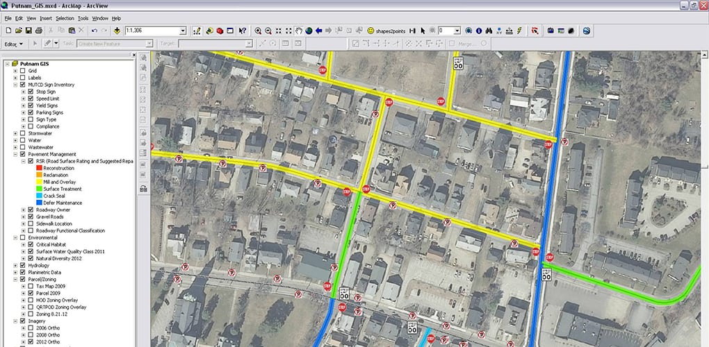
BETA assisted the Town of Putnam in the development of various water main improvement projects. A key component of the initial effort was the mapping of the water system and the implementation of a Water Asset Management Program (WAMP). Over the course of developing the WAMP, the Town recognized that it would be better served to expand its infrastructure database into a comprehensive Asset Management System (AMS) and Town-wide GIS Program. BETA worked with the Town to leverage available funding, implement its user-friendly AMS to develop the Town’s Pavement Management Program, Sign Management Program, Sidewalk Inventory and Stormwater, and Water and Wastewater System networks.
BETA met with key Town staff to conduct a thorough assessment of the Town’s technical, organizational, and departmental GIS needs. From that close coordination, a multi-faceted action plan that identified and prioritized the steps involved in meeting the Town’s current and future GIS needs, goals, and objectives was developed and implemented.
To enhance the Town’s AMS and GIS program further, BETA also provided record card, plan scanning, and cataloging services for both the wastewater and water systems. The scanned information can now be viewed by Town staff both in the office (through the hyperlinking of information to utility assets in GIS), or in the field (on tablets, using the cataloged folder structure). BETA also provided Town staff with PDF maps of the Stormwater, Water, and Wastewater inventories, all of which can be accessed on tablets in the field.


